
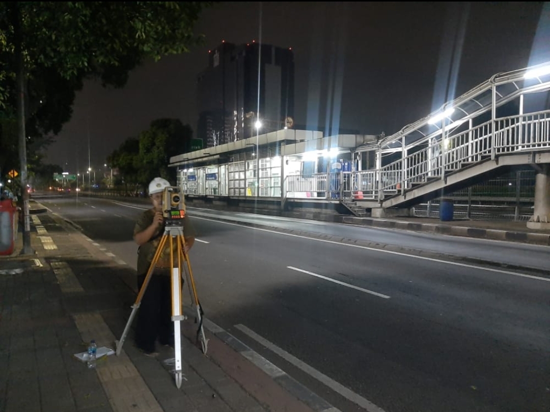

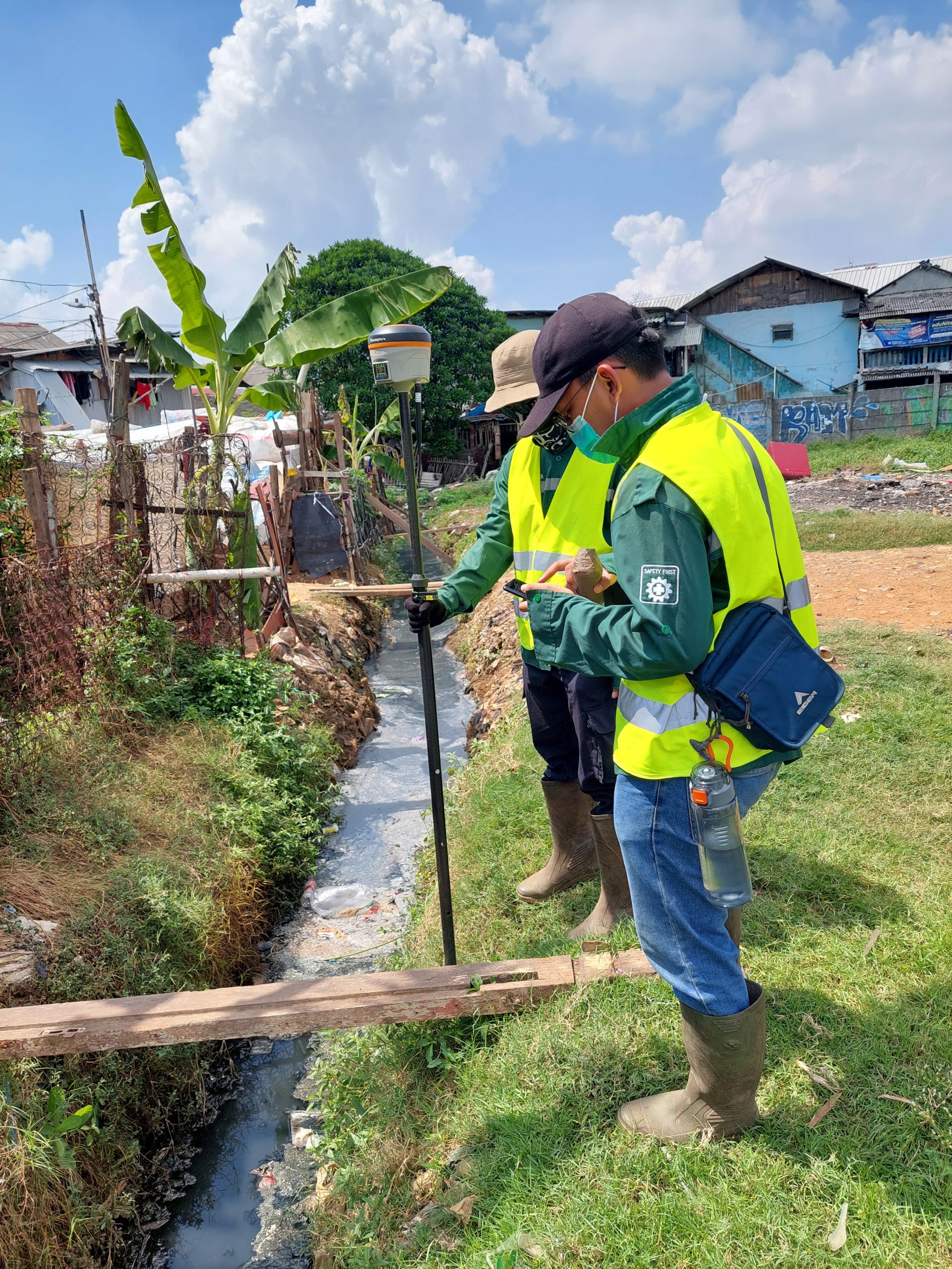
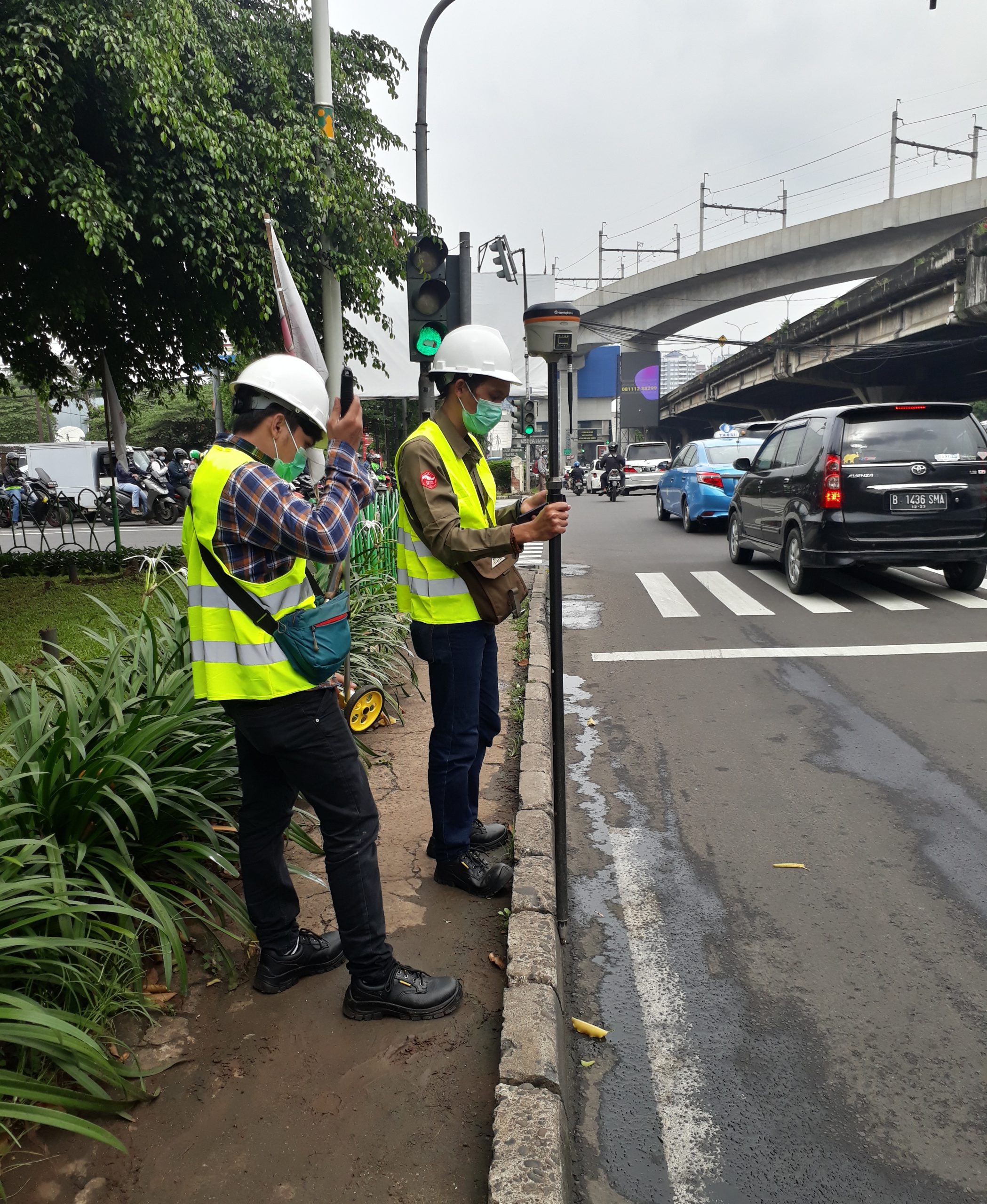


Topographic Mapping
Topographic mapping provides an overview of the earth’s surface with conventional measurement methods

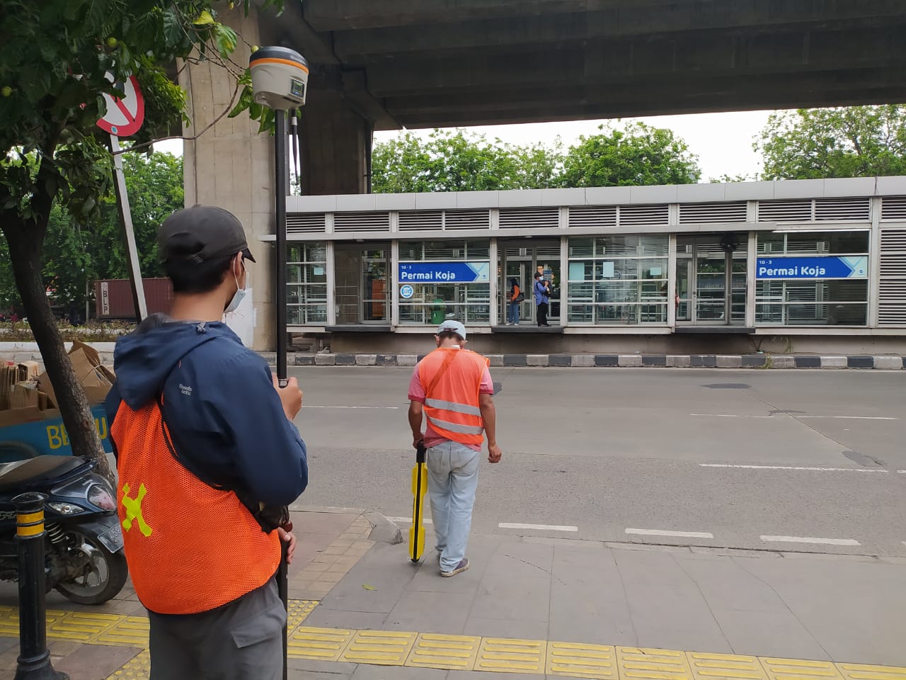
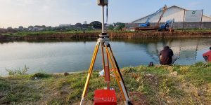
Long Profile And Cross Section
Long profiles are used to take measurements over long distances, so they are done in stages several times. Because the length is very large, the vertical scale used is different from the horizontal scale and Cross Section is a cross section/section of an area of land measurement in a transverse direction that shows a certain distance and elevatio
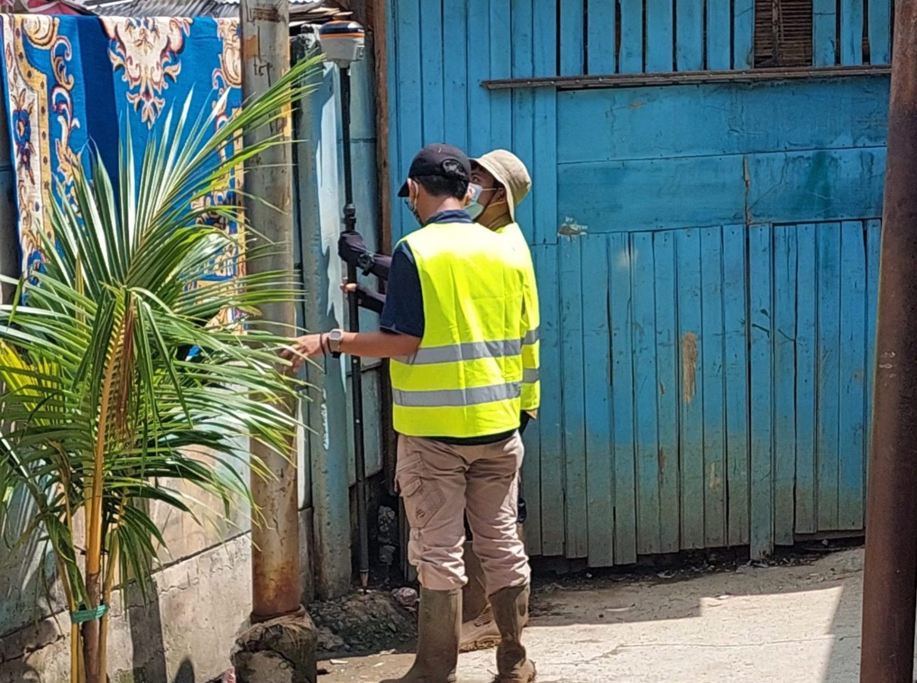
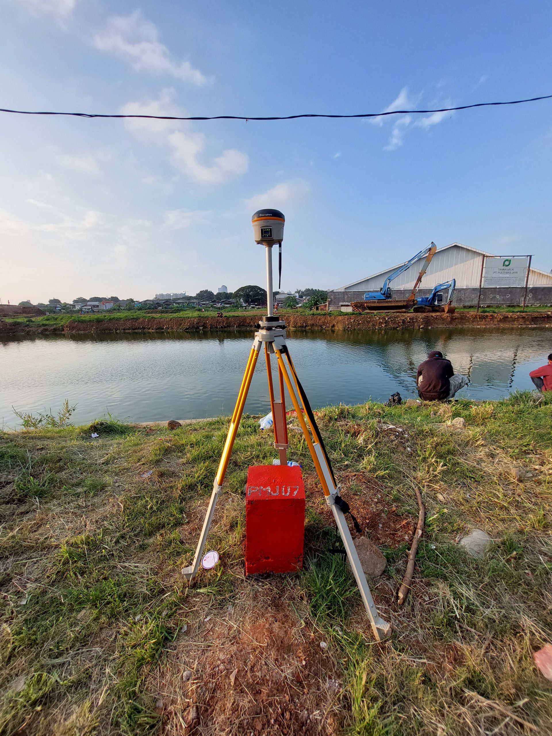
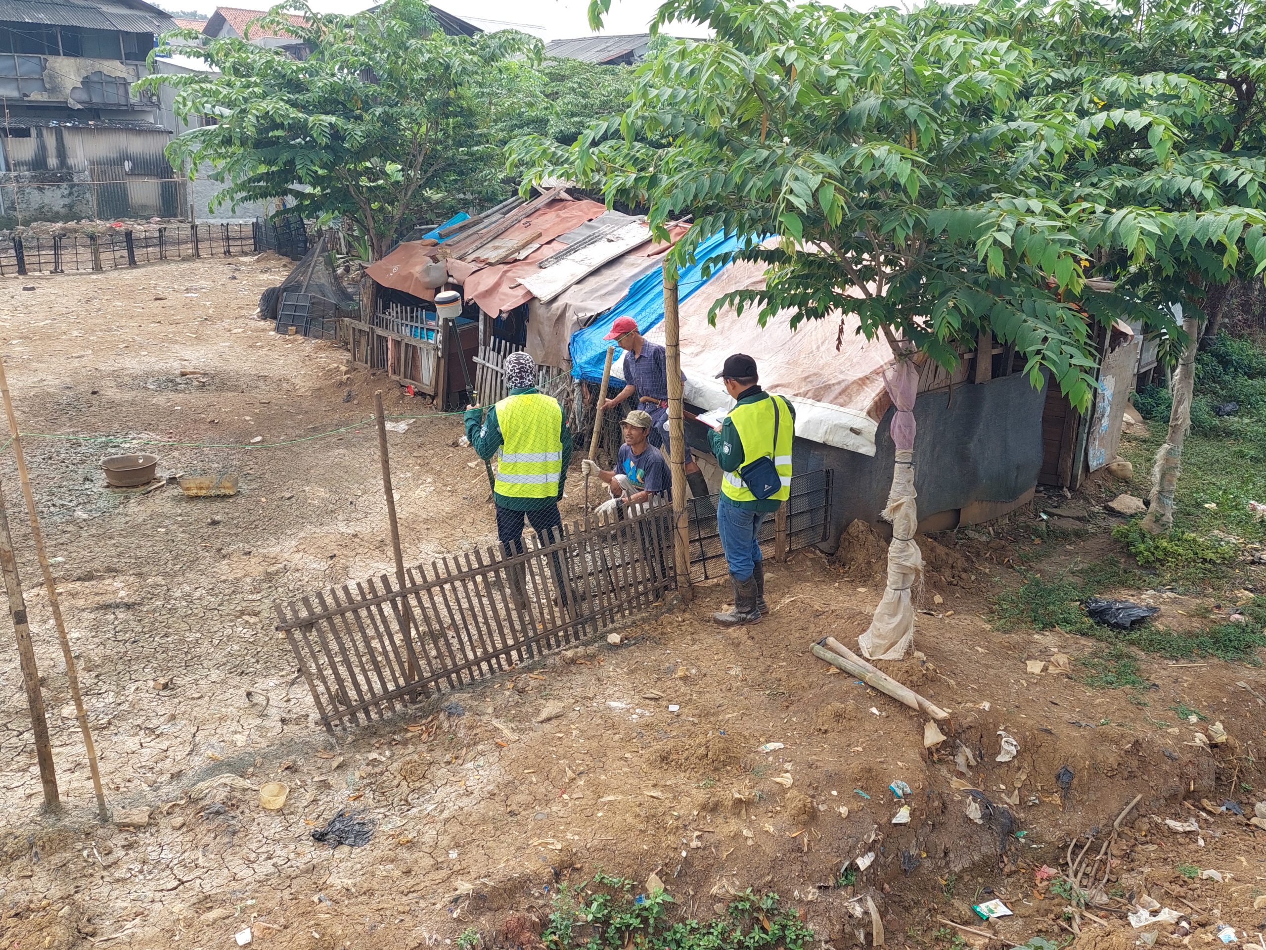
Land Boundary Mapping
The purpose of measuring and mapping land parcels is to produce a map of land parcels which contains information about the location, boundaries, and area of a plot of land.

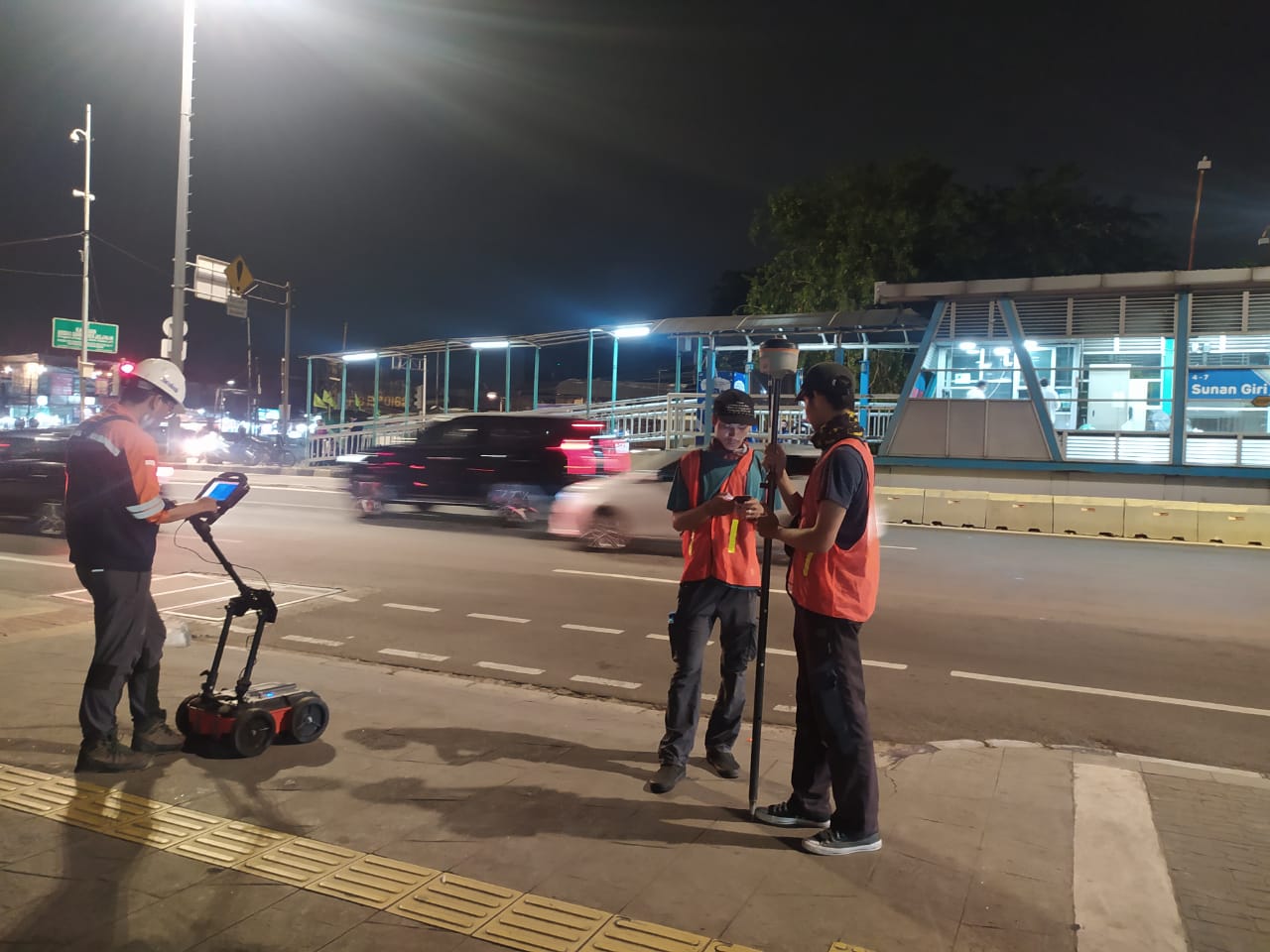
Ground Penetrating Radar (GPR)
The objective of Ground Penetrating Radar survey to underground utility detection, underground utility mapping at survey area, making marker at underground utility position